Civil Solutions Implements Esri’s ArcGIS for Water Resources Flooding Storymap for Cape May County, NJ
Civil Solutions, a Division of ARH Associates, implements Esri’s ArcGIS for Water Resources Flooding Storymap in Cape May County, NJ.
Per a recent study by the Union of Concerned Scientists, in New Jersey over 25,000 homes worth nearly 10 billion dollars are at risk of chronic flooding by 2035 due to rising sea levels. With coastal communities like Wildwood and Ocean City that regularly experience flooding issues, Cape May County is one of the most at risk areas. The County of Cape May was looking for a way to better manage their flood risks, responses, and communications, while utilizing a solution that was not prohibitively expensive. Civil Solutions worked with the Cape May Department of Planning and the Department of Emergency Management to develop a tidal flooding management solution that is cost effective, informative, and easy to use and maintain.
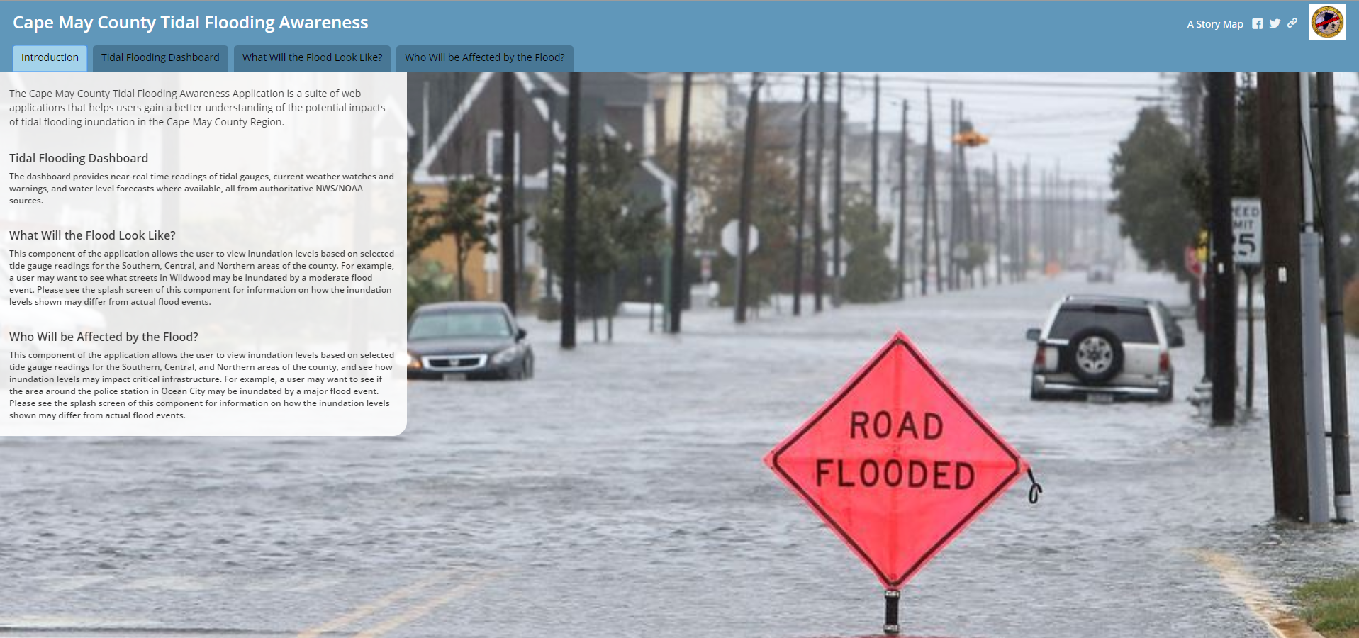
The template consists of a tabbed Map Series Story Map that is driven by several web maps. The tabs are meant to answer different questions about the flooding, such as “What Will the Flood Look Like?” and “Who Will be Affected?”. Civil Solutions reviewed sample application components with County planning, engineering, and emergency management staff to determine how to best configure the application to meet the County’s needs while working with the County’s budget.
Civil Solutions approached the development and deployment of the flood management solution as a collaborative effort with County staff, in order to deliver the most effective and efficient solution. Using available data and web services greatly reduces the data management efforts needed to maintain the application. Using ESRI’s cloud hosting in AGO for the applications eliminates the need for management and maintenance of an on premise application deployment. The structure of the application makes it easy to add additional critical point or infrastructure GIS data if needed. The Cape May County Tidal Flooding Awareness web mapping application is a flexible, cost effective flood management solution for the county that requires minimal maintenance and can easily be augmented in the future.
LINKS:
Click Here to View the Application.
Cape May County, NJ Emergency Management Press Release
For more information contact gisinfo@arh-us.com